|
|
|
|
|
|
|
|
|
Colorado Trail MTB Bike Tour
Day 16 - North Pass to Coachetope Creek
August 5, 2006. It rained most of the night last night. Everything was wet in the morning, but it had stopped by the time we got up for breakfast.
 The next two segments that we'd planned to ride today were not as steep or as high as what we'd been riding, but our dilemma was to decide whether to do an out-and-back to the edge of the wilderness area (46 miles round trip), or just go part way in, or try to make a loop of it. We armed ourselves with maps and got some good beta from Jean, the 81 year old camp host who was the most knowledgeable and friendly camp host we'd met in all the campgrounds we'd visited.
She knew the area, the history of the area, the backroads and trails, and was a great resource. A city engineer had capped the artesian well one year, she told us, and as a result the water had found another way out, leaving the campground's well dry. She gave us containers and took Phil to a locked forest service site about 7 miles away to get enough water to get us through a couple of days. All she asked was that we top off the tires on her bike.
 Jean gave us some options for possible loops, so we got our GPS's loaded and headed back to the trail at about 9:00 a.m. Despite what the map and guidebook had shown, the trail did not just cross Highway 114 where we'd come out the day before yesterday. It came out on the highway, and started again about a quarter mile down the hill, which Jean warned us about.
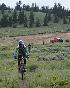
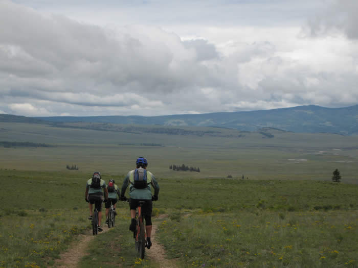
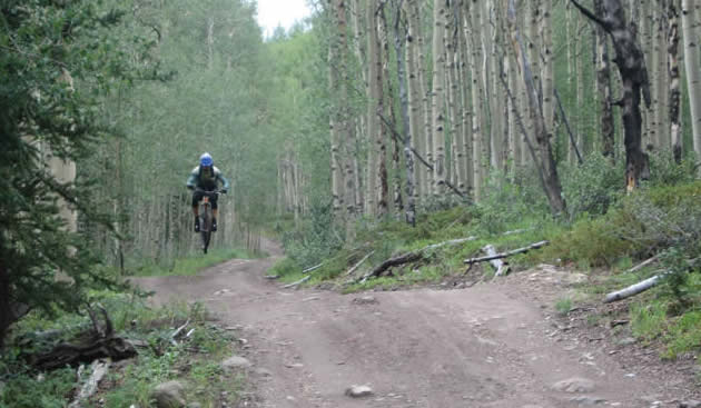
We headed out into mostly flat single track, and across a small creek. The trail turned away from the highway and joined an old jeep road.
We came to one steep climb, that required hiking, but it was relatively short, climbing only about 300' or so. The bummer is that the terrain was wide open, and it would have been easy for the trail builders to have made three or four switchbacks, leaving it all rideable.
Once we got to the top, it was a steady, fast double-track with a slight downhill grade for the next few miles. We blasted our way down the trail, passing a few more gates, and the trail opened out into a large pasture.
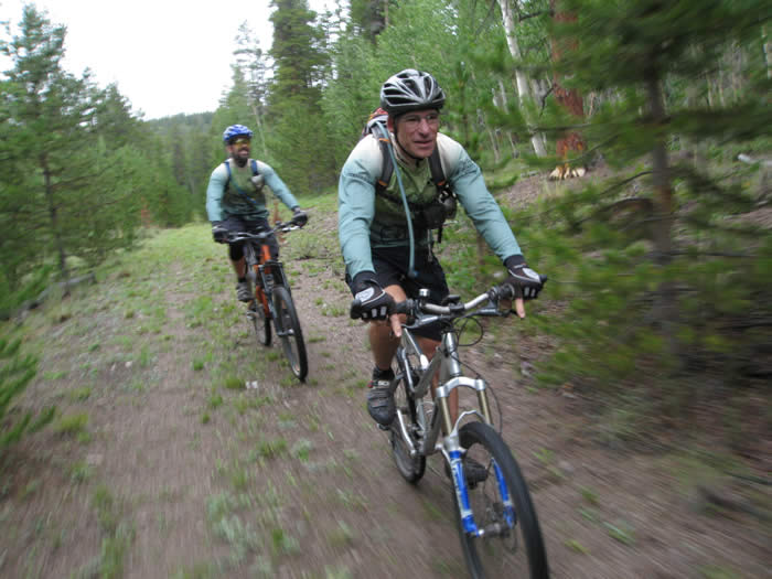
The trail so far had been so nice compared to what we had done two days ago. We were enjoying the smooth trail, hardened clay and decomposed granite. There were a few muddy patches but nothing to bother us.

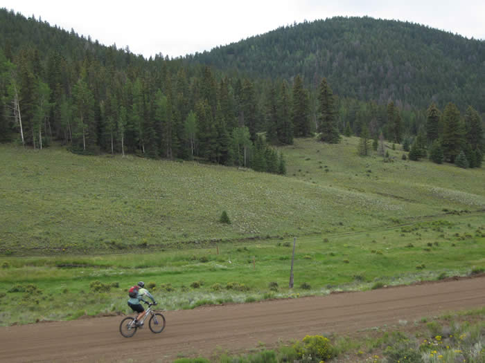
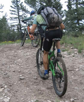
We followed the trail along a fence, where there were a few cowboy types driving the fences and doing maintenance. The trail continued as double-track for a few miles, then joined a dirt road, on which we saw at least four vehicles.
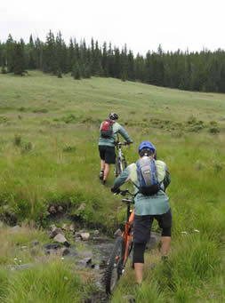
We turned off this road after just a half mile, crossed a creek, and began another short climb.
We hadn't heard from Brad, but were surprised to find him on the trail!
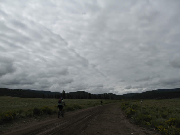
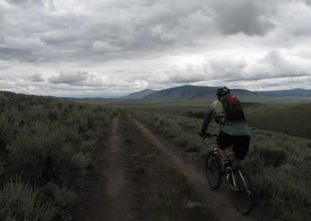
The clouds had been threatening rain since we'd left the truck, but they were idle threats, thus far. The cool temperature (about 50 degrees) and mild grade of the trail had made for a great recovery ride.
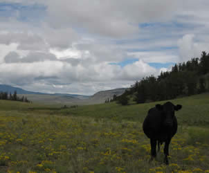
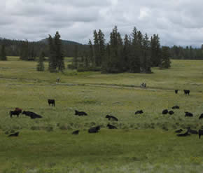
The road passed through a grazing herd, and a few had to be scared off the road.
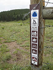
We came to the end of segment 18, and the unceremonious beginning of segment 19. We had decided to ride to the top of the highest pass on this segment, then turn back. It was about 5.5 miles in, and the wilderness boundary was 11 miles. The guidebook said the trail turned to single track again shortly after that climb, but a full out-and-back would have been 46 miles.
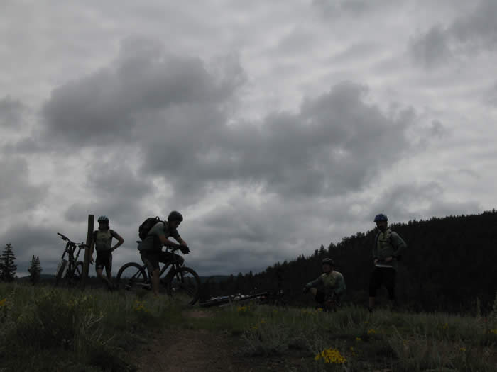
We made the crest and rested for a few minutes before the return journey.
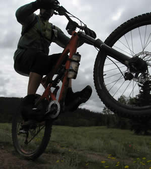
The descent from the top, which we had just climbed, had some great water diversion jumps all the way down. It was great fun. Hans and Ed were getting some air on the trail down and enjoying the ride back through the forest.
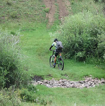
 Once the trail opened out into the pasture again, we opted to make a loop of it and try something different. We could see a road across the valley, which corresponded to one on which we wanted to be to head back to the highway. The problem was that there were a bunch of fences and gates between us and it.
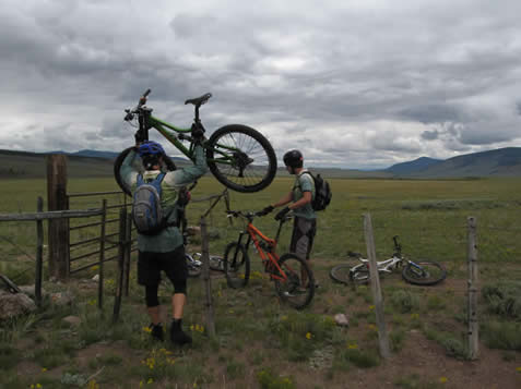
A sign on a gate warned of private property ahead, so we opted to ride right across the pasture along one of the fences and head straight towards the road we could see.
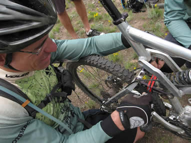
Immediately after we got our bikes over the fence, Hans noticed that his rear shock was not behaving. He'd snapped the main through-bolt on the rear shock mount of his Titus, probably getting air on the downhill. Duct tape and zip ties and we had it reinserted, but the sheath was already bent and would also definitely have to be replaced.

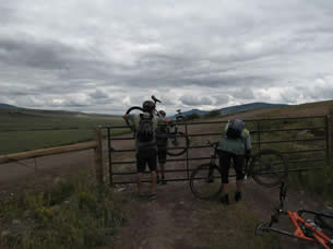 We crossed a few more fences and gates, and made our way out to the highway. Some of the gates were posted private property, no trespassing, but we only saw those signs once we'd passed the gates.
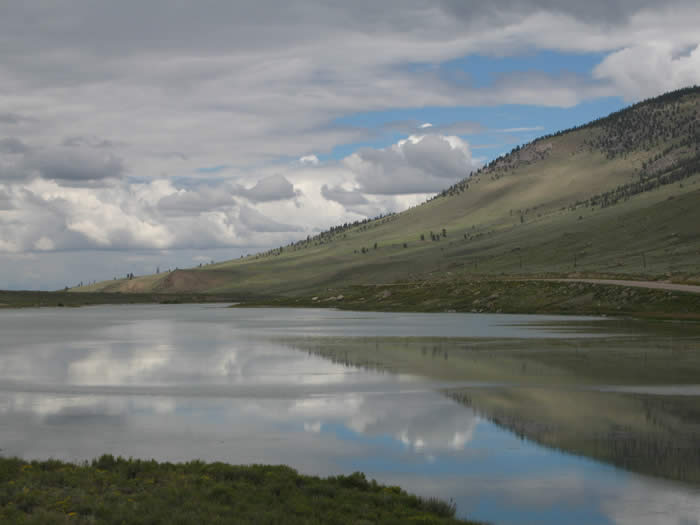
We headed out on this road, past a lake, and ended up on NN14, and turned right. A mile or so up the road, we turned left again on CR 17, and followed this all the way back to highway 114.
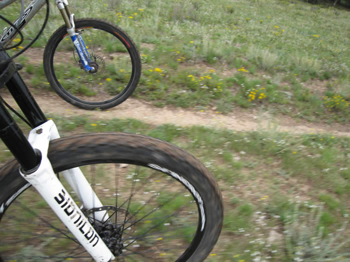
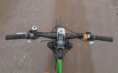
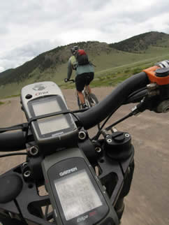
The Etrex Vista GPS with a Colorado topo basemap had been really helpful in figuring out where we were going, and had helped us get back to the highway without problem. Once there, we had about 3.5 miles back to the truck.
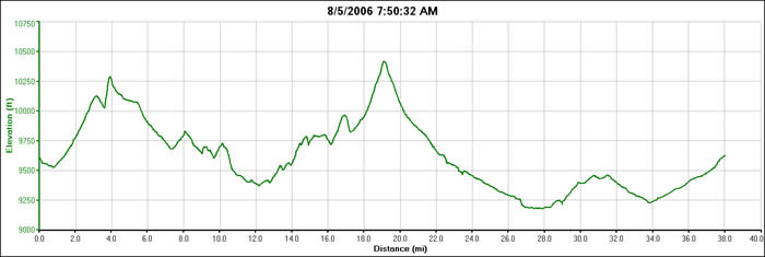
Our totals for the day were 37.8 miles, about 3500' of climbing and 3500' descent (since we did a loop). The graph is a little deceptive below, as there is only about 1000' difference between our highest and lowest points.
 As we approached the truck and our starting point, it started to rain lightly. There was a note on the truck from Dale, who had driven out from California yesterday in his van to join us for the last week. He was back at camp when we got there.
We had vegeburgers for dinner and packed up camp. The next few sections of the trail were wilderness areas which we'd have to go around. The next day's ride would take us over 13,300' elevation, so we preferred to drive this evening to the new area, rather than pack up in the morning, drive for nearly two hours on backcountry dirt roads, then ride.
We headed down highway 114, to NN14 to KK14. It was two hours of spectacular high-country scenery on dirt roads. We passed lakes, and cliffs, rivers, and even a good old fashioned cattle drive being done by cowboys in canvas tents. It was a long drive, but extremely scenic. Most of this drive was what was recommended in the official guidebook as the "bicycle detour." Again, we were here to ride the Colorado Trail, not detours.
Camp was set up at Slumgullion campground, at 10,700', just before it started to rain. It had been a long day, and even though it was supposed to be a "recovery" ride, we all felt it.
© 1994-2014 Over the Bars Mountain Bike Club. All Rights Reserved