|
|
|
|
|
|
|
|
|
Colorado Trail MTB Bike Tour
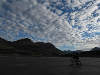
Day 19 - Molas Pass to Hotel Draw and Sig Creek
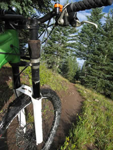
August 8, 2006. Knowing we had a long day of riding ahead, Hans had everyone up before 5 a.m. and we were on the road by 6:15 a.m. We had work to do on the bikes, even though we'd had a day off yesterday, we'd spent most of it driving, and hadn't done any work on the bikes. We also had a 45 minute drive back up towards Silverton to get to the trailhead.
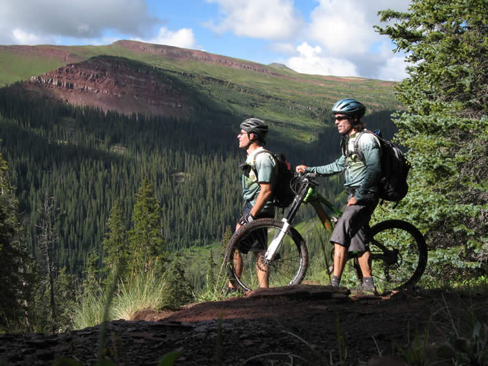
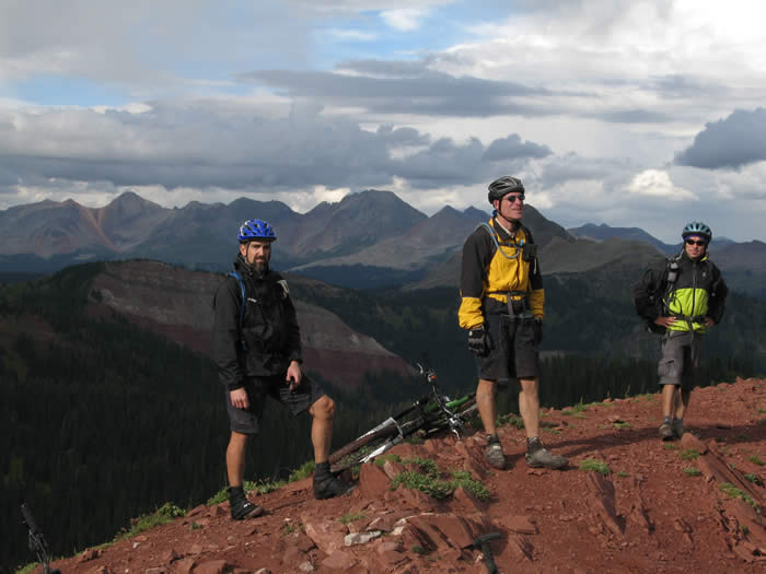
This was the first time on the trip during which only Hans, Steve and Ed, the three through-riders doing the entire trail, would be the only riders. We'd had others on the trip at various times, but we were the core group of the trip. It was a good change, though we'd enjoyed the company of others during the trip.
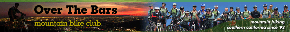
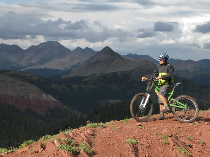
 Driving to the trailhead, Phil nodded off in the back. It was early. We were at the trailhead parking at Molas Pass at just after 7:00 a.m. The clouds were light and high, and the morning light was brilliant.
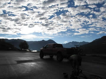
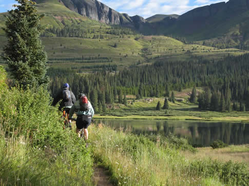
 We had a sweet trail to start with. The trail passed around little Molas Lake, with low fog in the valleys, and high cloud. The morning light was brilliant on the landscape.
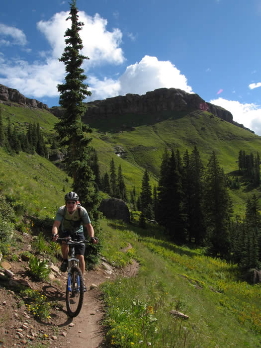
After the first mile, the trail began climbing. It climbed for a good two miles at a steady, easy grade and head towards a large, open valley.
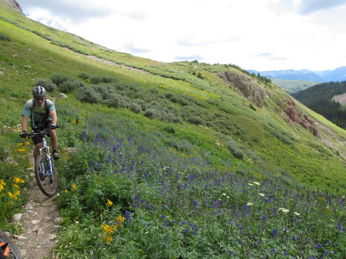
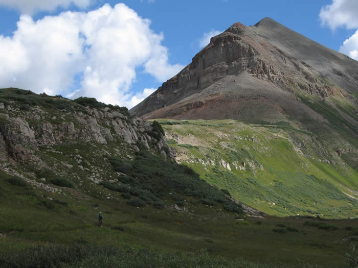
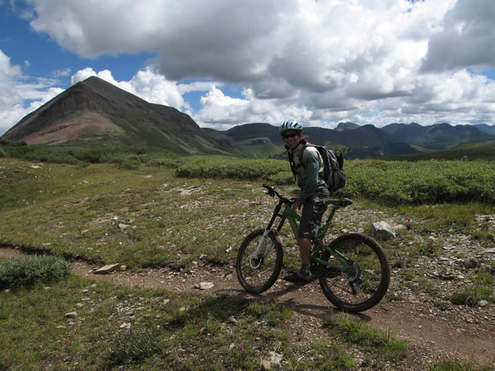
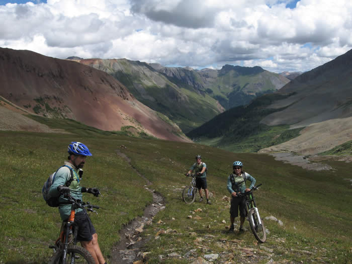
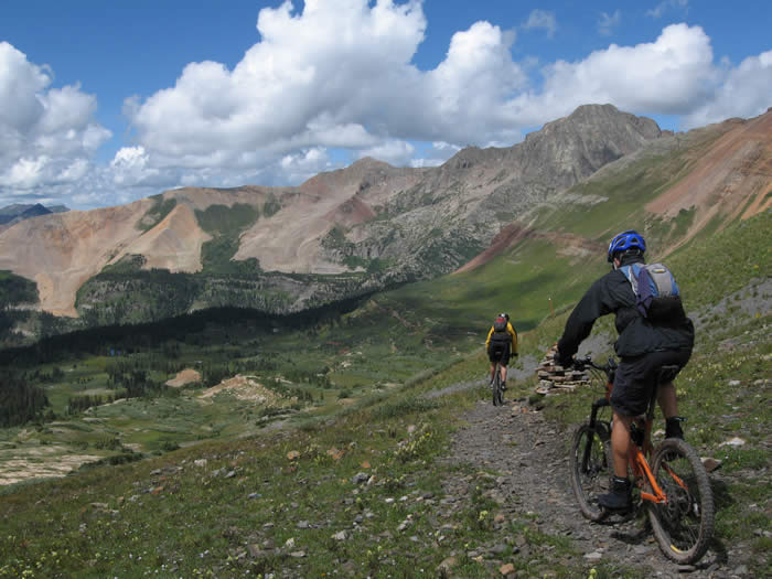
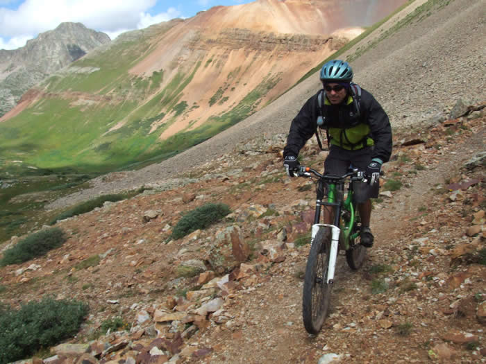
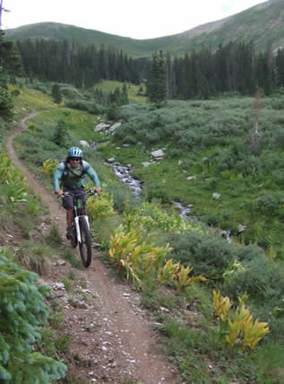
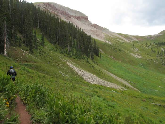
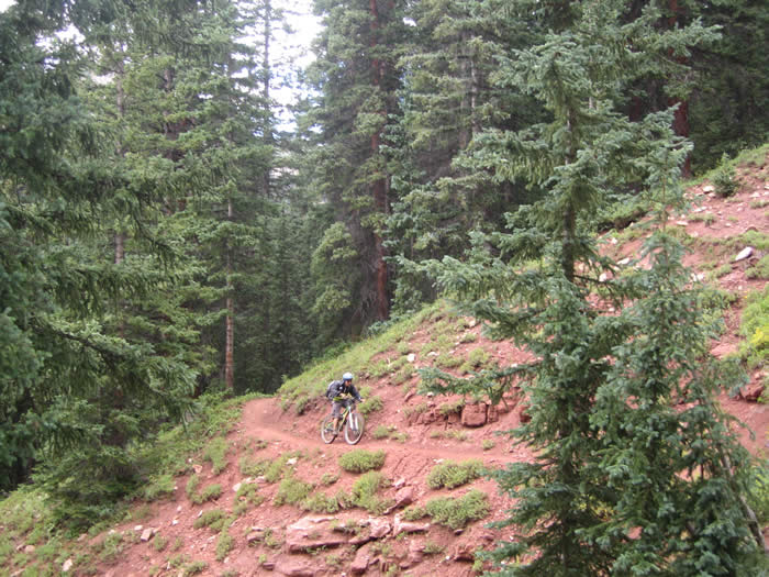
The trail was sweet and smooth for much of the first 10 miles, cruising through open meadows filled with flowers. It had gentle climbs, fast rolling flat sections, and a few short hike-a-bike rocky sections. There were incredible views in every direction we looked. The flowers and grass were wet from the night's rain.

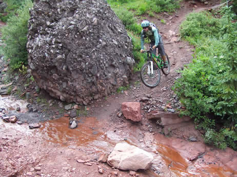
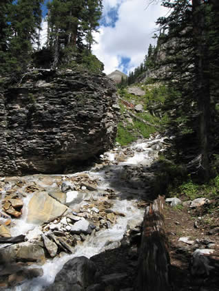
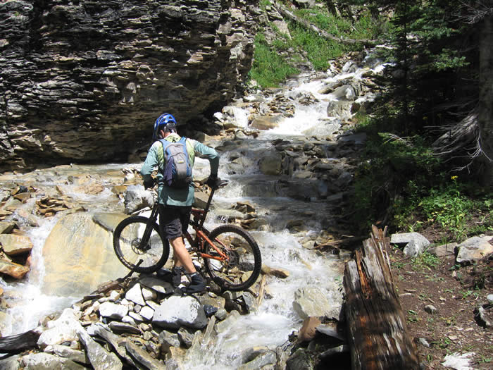
Probably because of all the rain we'd had, there were creeks and waterfalls everywhere, cascading into the valley. We had to cross several creeks throughout this valley.
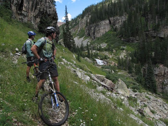
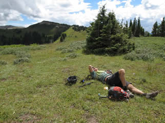
The skies were beginning to cloud over, but we weren't too worried. We'd stopped a lot to take photos and take in the view, but felt like we were making decent time. We were only about 8 miles into a 30 mile day, and it was already noon.
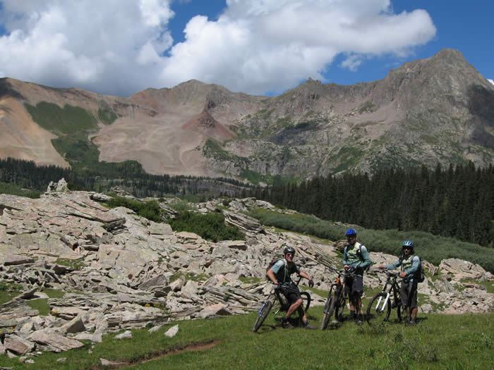
The views down the valley were awe-inspiring. We stopped many times to take in the view, and some photos. Some of the sights were difficult to put into words.... better to let the photos speak for themselves.
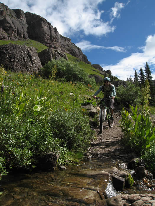
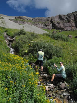 There were many creek crossings, and since it had already taken us so long to get this far, we stopped at a creek so Ed and Hans could get water.
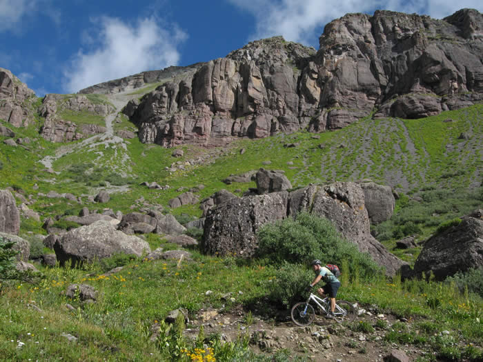
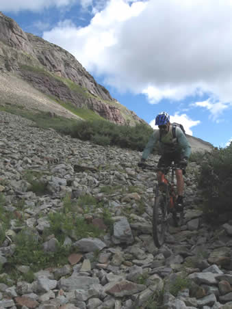
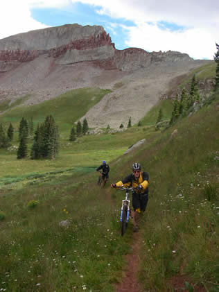
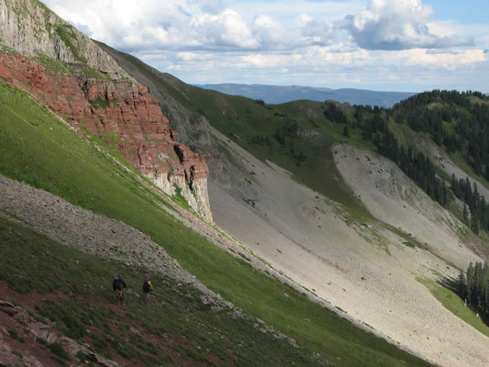
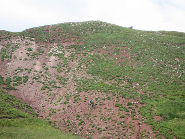
In several sections we were riding on loose scree fields. They're difficult to ride as the rocks constantly move under your wheels, and it is even more difficult to follow someone as they can move rocks which might still be rolling as you pass through. We spread out on these sections.
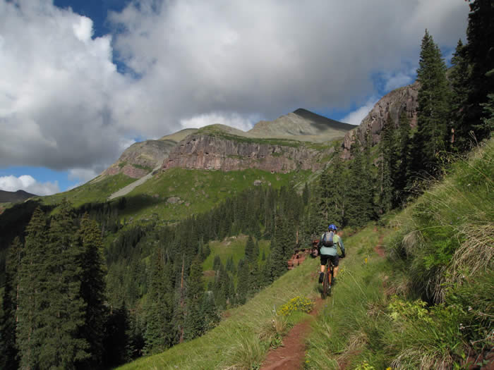
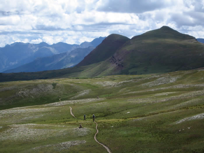
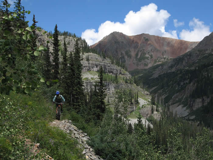
The trail opened out into spectacular displays of wildflowers, waterfalls, and alpine meadows. We were now well above tree-line.
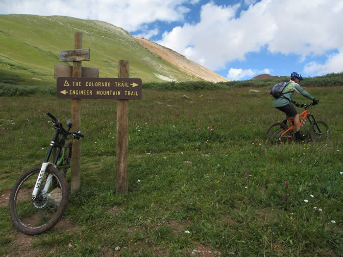
We came to the intersection of the Engineer's Pass trail, and turned right, heading along the Colorado Trail.
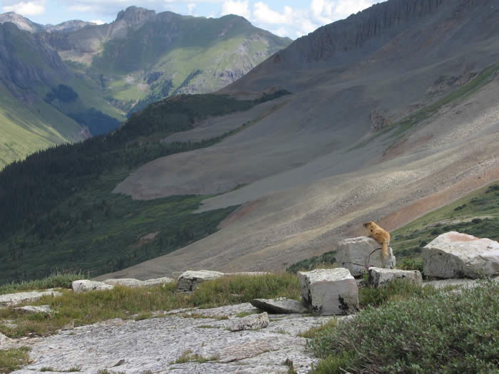
We came across a marmot that wasn't too shy... even marmots can enjoy the views
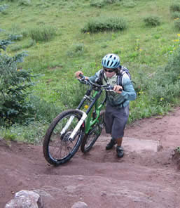
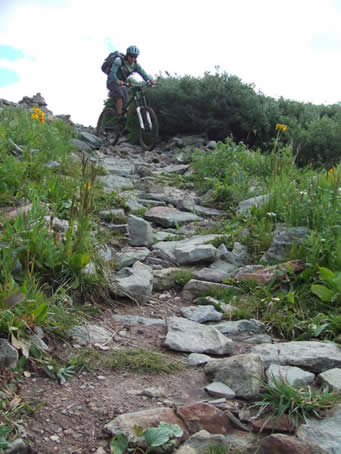
Before reaching the crest, there were a few short rocky hike-a-bikes, but beyond that it was all rideable.
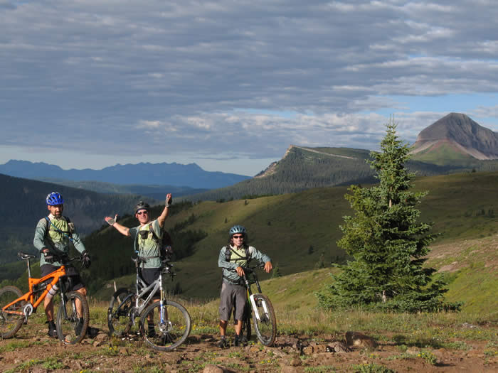
We took a break before the last climb to the summit of the pass.
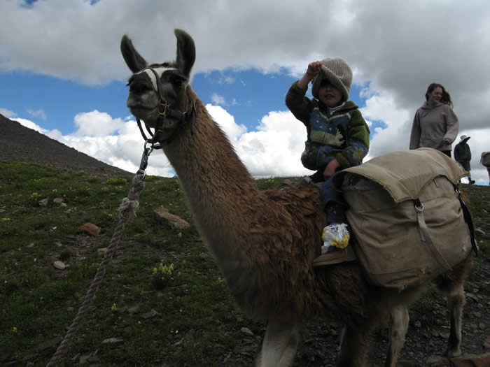
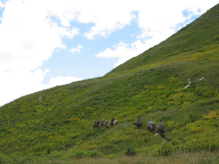
We reached the top of the pass at 11:00 a.m. We were surprised to find a group hiking with Llamas as pack animals. They had taken 2 1/2 days to reach this point. We had 2 1/2 hours of ride time, and about 5 hours on the trail (yes, we stopped a lot). They were really friendly, and intrigued by our bikes. They wanted to know about the suspension and how it worked, and wanted to feel how heavy our bikes were. We, on the other hand, didn't feel a need to pick up their Llamas.
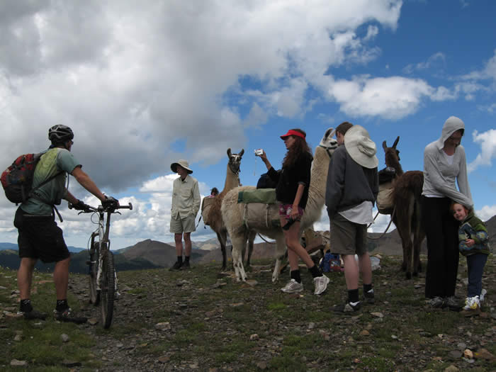
We talked to them for a good ten minutes, then they headed off. We knew we'd pass them soon. They actually shot video of us riding our bikes off into the distance.
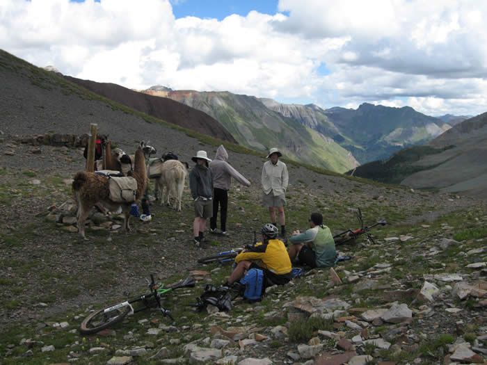
There was a dad, a couple, and their young daughter on the Llama trip, They seemed to be really enjoying themselves.
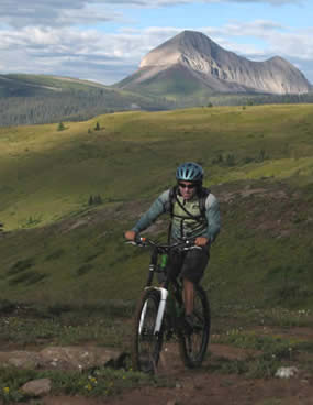
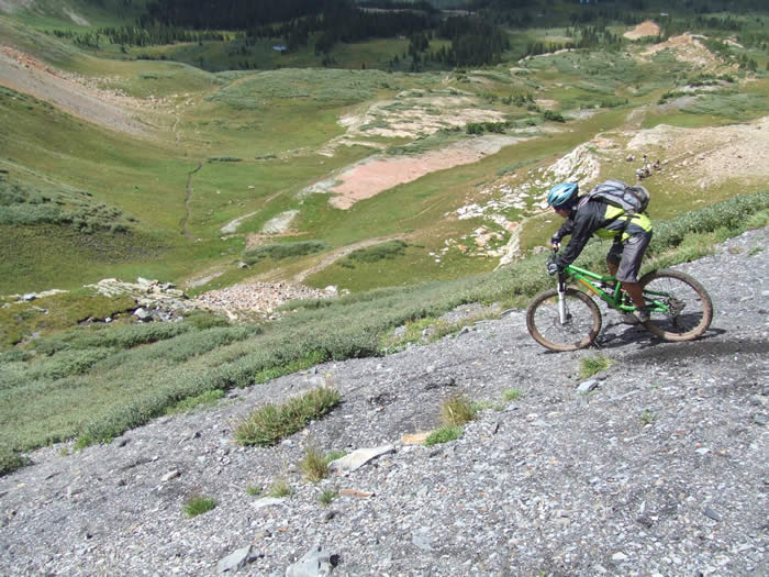
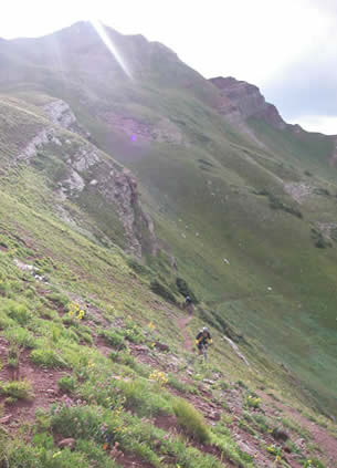
It looked like rain, and we'd had a few sprinkles while at the top. We dressed for the rain, as insurance to make it go away. The descent from the summit was a series of gravelly switchbacks down to the valley floor. The Llama train can be seen just above Steve's backpack in the photo below.
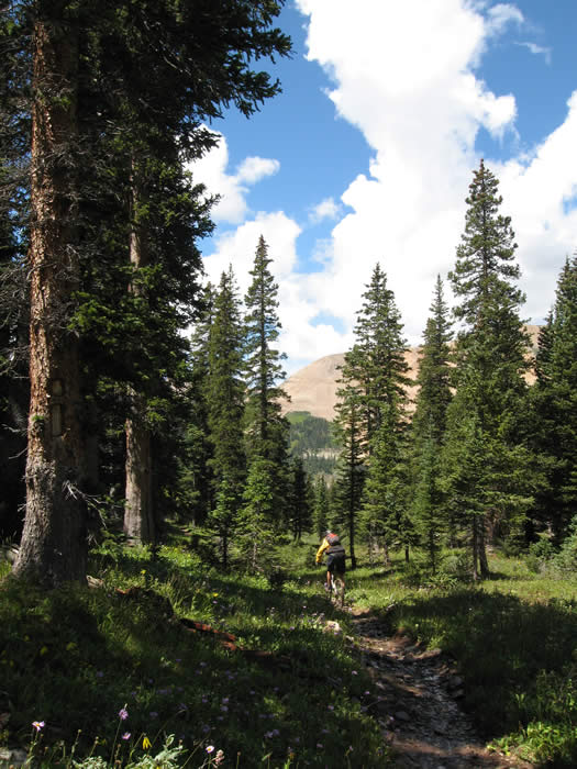
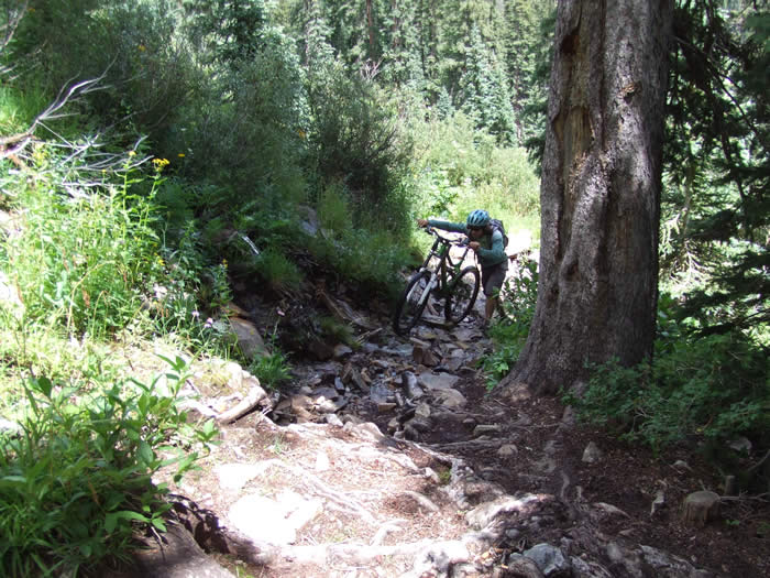
Once we reached the floor of the valley, we were back in the trees. The trail was muddy in many places, but fairly smooth.
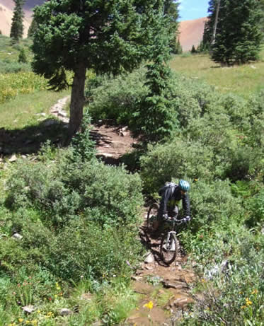
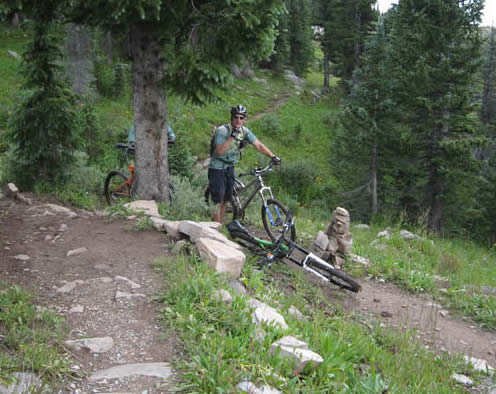
At one point, Hans and Ed were waiting with camera for Steve to come through a steep drop to a creek. Nobody noticed the rock cairn (to the left of the tree and in the shade in the photo below).
We continued on the trail, but it was level or climbing when we thought it should have been dropping. But with the inaccuracies we'd found in the guidebook previously, we didn't think too much of it. But we were also too busy looking at the views to notice our GPS units.
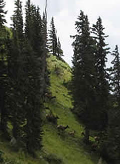
Ed was first to see a herd of elk, probably in the hundreds, stampeding their way down the hillside and across the trail several hundred yards in front of us. It was an amazing sight.
After the excitement of the elk, we realized that we were no longer following our GPS waypoints, which had veered off to the right just over a mile back. That explained the climb when we thought we should be descending. The guidebook description had said to watch for a difficult to see trail leading off to the right. Score one for the book. We were too focused on our line through the creek crossing directly ahead.
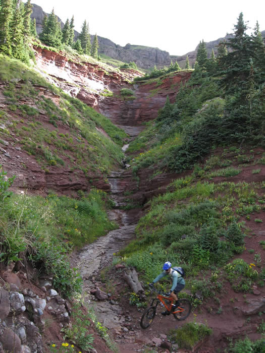
Back on the trail, we wound our way down through another valley, along a creek, and past more waterfalls.
As we cruised down the valley, we cross a very well constructed bridge. Looking back, we could see the waterfall and the creek over which we'd passed on that bridge.
The trail again began to climb to the next peak. About this time Ed ate a goo, and almost immediately had a stomach ache. He felt the knot in his stomach and had to stop riding. It was a tough on him. Within ten minutes he was having diarrhea and had to stop several times to take care of business.

The trail opened out again and cruised towards the peak. Steve and Hans waited for Ed to take care of business a few times.
As we neared the top of the second big peak, and the end of Segment 25, a group of equestrians came down the trail. These weren't your griffith park snooty militant anti-bike types... these were real cowboys. Chaps and bedrolls, they were heading in to their camp by the river. Thick western drawls, they asked us where we'd come from and how far we planned to go. One of the girls said that "you guys are tougher than me."
Steve and Hans reached the crest at about 3:00 p.m. Ed was still some distance back, having had to stop several times to take care of business. The Montezuma's revenge was in full force, and his stomach was in knots. He had to take it pretty slowly. This wasn't good news as we still had another whole segment to go, and another significant 12,000' peak to climb. We were only 21 miles in.
Ed carried on undeterred, though it was obvious he was not doing well and had to take things slowly. Steve was having his own problems with allergies, and Hans was pretty tired as well. It was then that I think we all agreed another 40 miler for the last day wasn't realistic.
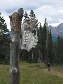 Ed arrived and we headed downhill. We had toride the downhill to Molas Pass road, about a mile and a half of downhill. The trail though, was excellent. We merged onto a fire road where we saw an ominous skull on a post. It seemed like it was there just for Ed, and back on to single track again. We were enjoying the ride, despite, the fatigue, pain and other hardships.
We reached Bolam Pass Road at about 3:20 p.m, for the end of the segment. There was an older gentleman waiting there for a friend who we'd passed hiking about five miles back. He was going to re-supply the hiker for the last few legs of his hike.
The clouds were rolling in and getting darker, so we didn't wait around too long. We could have bypassed the next section by riding down Bolam Pass Road to our camp at Sig Creek, and saved ourselves a lot of hardship. But we also knew that we might not see this next section if we didn't do it now, so with four hours of daylight left, we decided to push on.
The trail here climbed from 10,800 to about 11,800' over the next few miles. It was tough going, and would probably all be rideable with fresher legs, but with Ed's condition we didn't want to over exert ourselves. He was handling it well though, pedalling along as best he could.
Once the trail started to drop again, we crossed a few creeks. We stopped on the way to fill up water bottles again, as Ed's dehydration was a concern. It had cooled off considerably, and was now sprinkling a little so it wasn't too bad.
We cruised on through some really fun single track, climbing, descending and swooping through the forests. Hans had trouble starting again after each stop, so he went on ahead. Steve waited for Ed and continued the climbs. We thought we'd reached the last climb and the descent down the other side was blissful. It was fast, a good downhill grade and smooth. We passed a few hikers with a dog, but didn't want to stop and talk as we usually would. It was raining lightly, and we knew time was a concern. Phil was supposed to have been waiting for us at 3:00 p.m. and it was already 4:00 p.m.and we still had a lot of distance to cover.
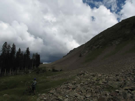
Our blissful downhill was short-lived. We rounded a bend, emerged from the trees, and saw Blackhawk pass in front of us. The trail looked steep, heading diagonally up the steep face of the pass.
We cruised up the face to the top... it was rideable for much of the way, but Ed was feeling weakened by his diarrhea. We hiked for some of it. The rain had come and gone and come again, but had never got really heavy. We'd waited under trees for the heaviest showers to pass, and fortunately, each time they did. It was a hike for much of the way, and lightly raining, but once we reached the final switchback the sun peeped through and we were able to climb the last few hundred yards.
It was a relief to be at the top of Blackhawk pass. It was a huge motivating factor to know that there was four miles of single track downhill on the other side.
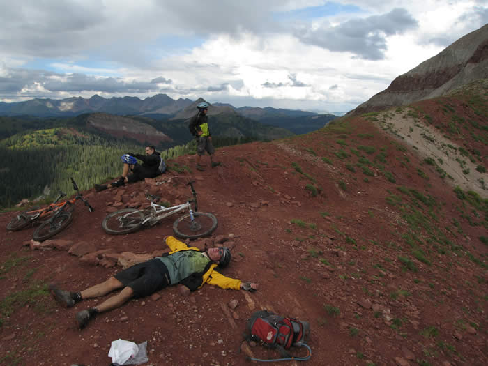
Hans and Ed took off first down the backside of the ridge. This is the same trail they had ridden ten years ago (they climbed this descent) as training for the Leadville 100 in 1996. It was then they decided they wanted to come back and do the entire Colorado trail, but it took ten years to get back here. But that goal was now a reality, and everyone was stoked to be here.
Dropping down from the ridge, the trail switchbacked down the south face of the pass. It was rocky and technical with tight switchbacks, but really great to be going downhill. It's when one suddenly feels a second wind coming on.
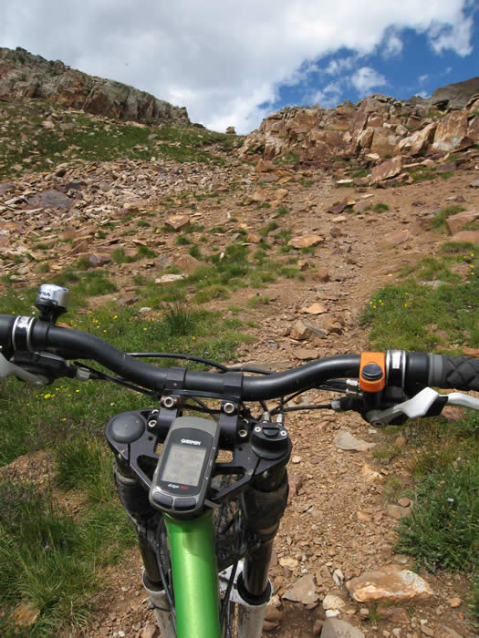
Shortly after we started down, Steve's Edge battery ran out. He stopped and pulled out his backup GPS to keep track of mileage, but it had difficulty in the trees. It took a while to get a satellite lock with the older Etrex Vista.
The trail down had been fast, fun, and the rain had held off long enough for us to dry off. We were pretty tired and set on getting back to the truck and to camp, so we didn't stop for too many photos, or to take in the view. Plus, when it's downhill and fun, who wants to stop?
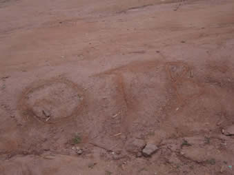 When we reached the end of this trail segment at Hotel Draw we found a message written in the dirt. "OTB, Phil was here, went back to truck" that was a good sign. Phil thought he would ride up the trail until he met us, but we never saw him on the trail or heard him on the radio. It was 6:45 p.m. We later learned that he was just too tired from his previous ride, two days ago, to ride anything but the fire road.
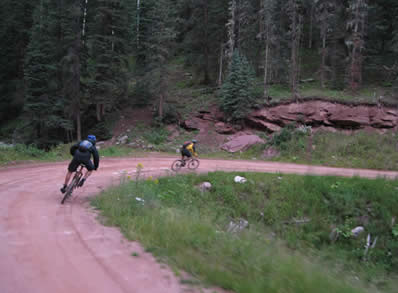
We cruised down the fire road, hoping to find Ed's truck and Phil waiting. We hadn't been able to raise him on the radio, but had arranged for him to drive as far up the road as he felt comfortable and wait for us there.
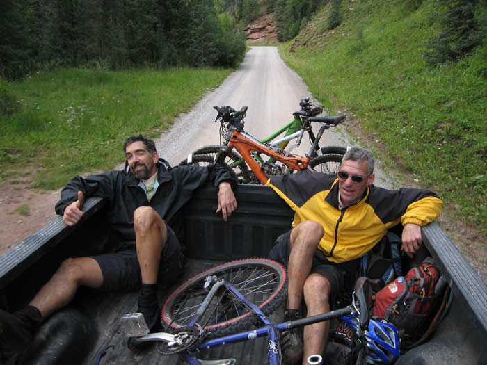
We found him a short distance past a creek crossing, and were very relieved. It was now 7:15 p.m., and we'd been on the trail a hair shy of 12 hours.
We climbed in the back of the truck, since we were covered in mud and didn't want to get the inside too dirty, even though the truck was definitely showing the wear and tear of nearly three weeks of mountain bike support. It was great to be done, and heading back to camp at Sig Creek.
The ride ended up being much longer, both time and distance and difficulty wise, than we'd planned for. We were on the trail 12 hours, with an 8+ hour ride time. We'd covered 43 miles, including about 2 miles on our wrong-way elk detour, and 7 miles of fire road downhill to get to Phil. Hans' edge died after about 9 hours and 28 miles, Steve's died at just over 31 miles (below), after which we had 3.5 miles left of the downhill single track to the end of the segment, and another 7 miles of downhill fire road to reach Phil and Ed's truck. We were worn out.

© 1994-2014 Over the Bars Mountain Bike Club. All Rights Reserved